Lasers Could Save Fading Architectural Ruins Before They're Destroyed
Modern troubles are taking a toll on ancient ruins. ISIS has ravaged the ancient Assyrian city of Nimrud and threatened Palmyra, too—and climate change is causing old marble and limestone in European landmarks like the Colosseum to expand and contract.
It’s becoming even more clear that at any moment, we could lose the treasured remnants of our ancient past.
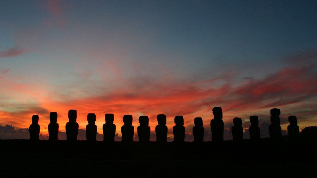
But digital technologists may have a solution—or at least, a technique that could mitigate the problem. CyArk , a nonprofit organization in California, has been capturing images of ancient sites and objects using LiDAR technology, which sends out pulses of electromagnetic radiation and analyzes it when the beams return. That analysis can usually quantify the shape of the object in question within a few centimeters. LiDAR images of Easter Island’s monolithic statues known as moai, for example, could help reveal how these sacred figures were carved and moved .
Of course, no one’s arguing that we shouldn’t preserve the originals—but indigenous cultures may also want accurate and detailed replicas for posterity.
Here’s Danielle Venton, writing for Wired:
It’s possible that these records will become crucial historical documents, if researchers can store them frequently enough. Consider the moai again: Accounts from Western explorers, recorded 50 years apart, indicate that life and politics on Rapa Nui changed dramatically during the 18th century. The island suffered intense civil wars, as deforestation and overpopulation took their toll. In the strife, moai were toppled and defaced, and thousands of people were killed. So much more of island’s ancient Polynesian history could have been preserved if LiDAR images were collected before that period of devastation.
In other words, we might know more about the inhabitants of Rapa Nui if their structures had been documented digitally before they were destroyed. Of course, they couldn’t have been (native Easter Islanders were cut off from the rest of the world, and even we didn’t have those capabilities yet)—but the point is that with more frequent LiDAR images, we may actually be able to scrutinize or 3D-print versions of beloved structures to preserve for the future. It’s similar to how engineers are creating topographic maps out of LiDAR data.
With LiDAR-processed archaeology, we may be able to buy experts more time to study ancient civilizations and eventually, future generations may be studying our own.

Watch 'Mystery of Easter Island' streaming online.
Photo credit: iko / Flickr (CC BY-NC-ND 2.0)
 Allison EckPosts By This Contributor